UNDERSTAND
The Land
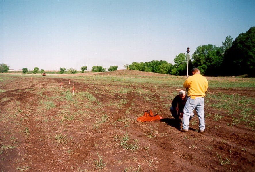
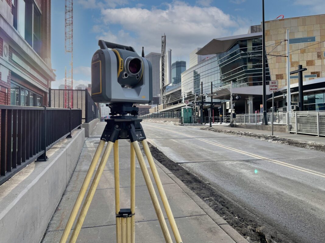
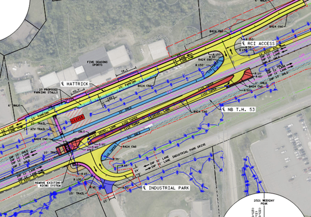
Topographical survey and mapping represent the foundational pillars of any successful project involving the use of land, whether it’s for construction, infrastructure development, or environmental planning. These indispensable tools enable us to capture the intricate details of a given area, providing an accurate representation of the land’s contours, elevation changes, and natural features. In this dynamic field, we leverage cutting-edge technology and expertise to create comprehensive maps that guide decision-making and shape the future of our landscapes. Join us as we delve into the art and science of topographical survey and mapping, where precision meets innovation to transform how we interact with the world beneath our feet.
Services:
- As-built & Record Surveys
- Existing Conditions
- Utility Investigations
- Topography
- Hydrographic Mapping
- Control Networks
- Corridor Mapping
- GIS Management
- Settlement Monitoring
