DETAILED
Land Use Mapping
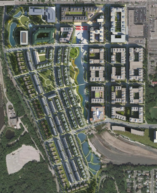
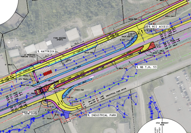
Platting surveys play a pivotal role in the orderly development of land, providing essential information for urban planning, zoning, and land subdivision projects. A plat is a detailed map that outlines the divisions of a piece of land, specifying boundaries, easements, and other pertinent details. Our professional platting surveying services are designed to assist clients in navigating the intricate landscape of land development, ensuring compliance with local regulations, and facilitating the seamless execution of construction projects.
We recognize the importance of platting surveys in establishing a solid foundation for responsible land use. Our experienced team of licensed surveyors employs advanced surveying techniques and technology to deliver accurate plat maps. Whether you are a property developer, architect, or municipal planner, our platting surveying services provide the clarity needed to make informed decisions. By meticulously documenting property boundaries, easements, and other crucial information, we create well-defined, organized parcels of land that promote efficient development and contribute to communities’ overall growth and sustainability.
